Orthomosaic site map
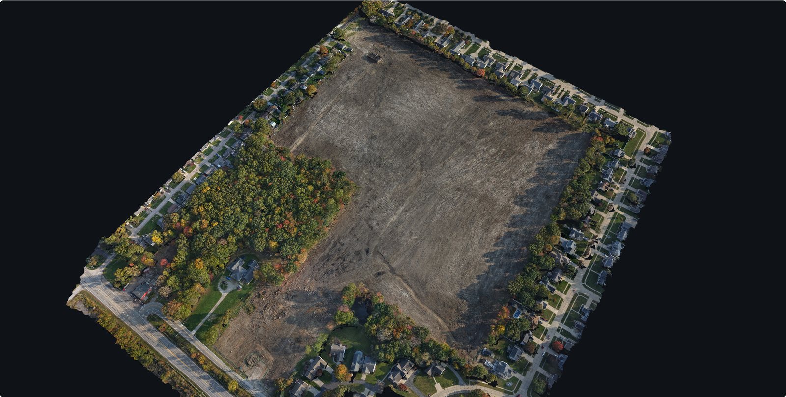
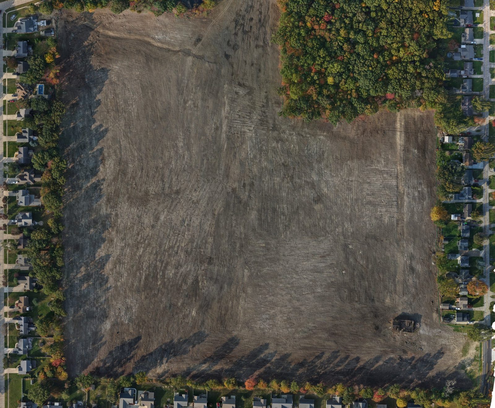
One sharp, top-down map of the whole site, stitched from overhead photos and lined up to real-world coordinates. Pan across the job and zoom in close, or open it in QGIS, Civil 3D or Google Earth Pro.



Construction progress mapping
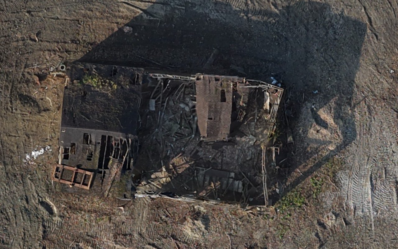
Scheduled drone flights capture your site from the same angles every visit. Maps, 3D models and photos land on one private project page, so owners, lenders and your team can check progress without driving out.
Built for general contractors, developers, lenders and owners.
Send the site and your schedule. We check airspace and access, then set a flight plan that repeats the same path and angles on every visit.
Monthly, every two weeks, weekly or daily during critical phases. Weather days move to the next flyable day at no charge.
Each visit is added to your project page within 24 hours. Everyone you invite gets an email when it’s ready.
What you get
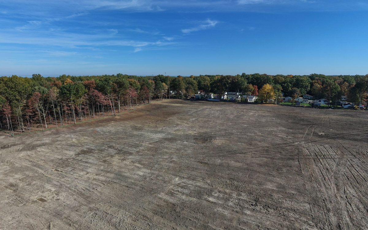
All of this comes from one flight. The examples below are from a cleared residential site, flown in October 2026.
One sharp, top-down map of the whole site, stitched from overhead photos and lined up to real-world coordinates. Pan across the job and zoom in close, or open it in QGIS, Civil 3D or Google Earth Pro.
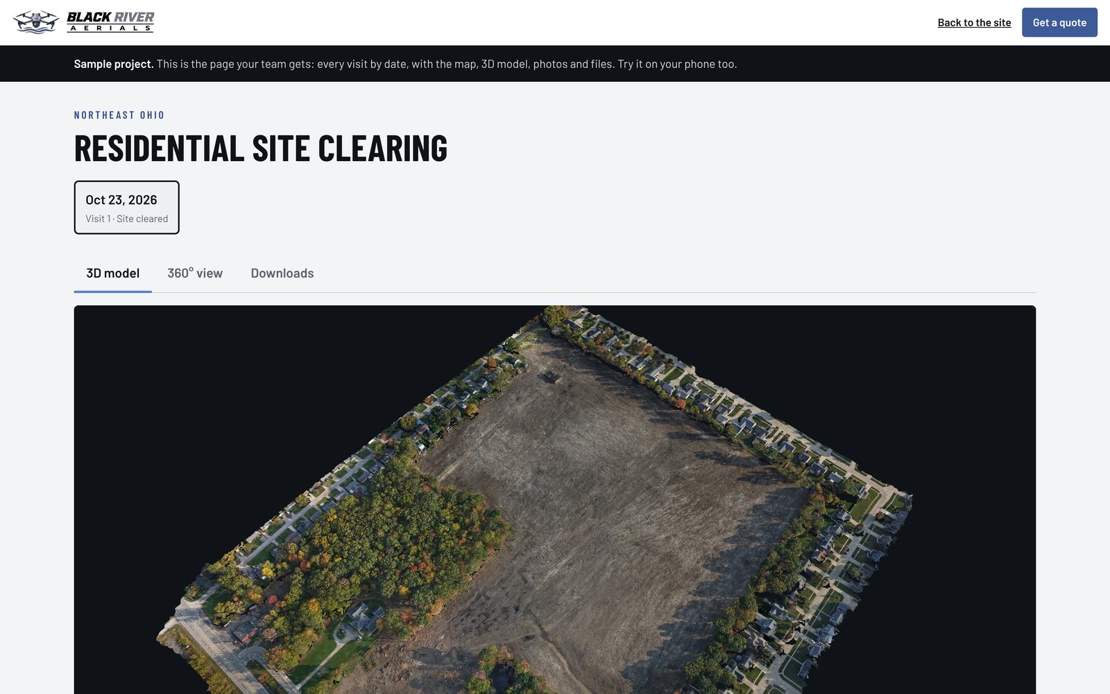
Rotate, tilt and zoom around the site in any browser, phone included. Download it for your own 3D software.
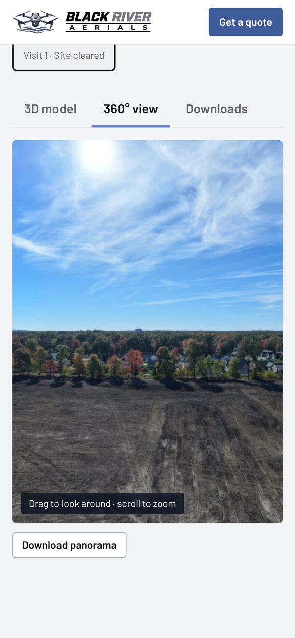
Try the 3D model →Drag to look in every direction from above the site. The whole setting in one view, for owners who can’t visit.
Try the 360° view →The same set of angles every visit, so each photo lines up with the last one and changes are easy to spot.
See the photos →Your project page
Every visit lands on a private page made for your project. Nothing to install and no software to learn.
Plans and pricing
Every plan includes the map, 3D model, photos, panorama and project page on every visit.
1 visit a month
$395 a month
$395 per visit
Steady records for longer builds.
3-month minimum
Request this plan2 visits a month
$750 a month
$375 per visit
Balanced coverage for active sites.
3-month minimum
Request this planAbout 4 visits a month
$1,300 a month
About $325 per visit
Close tracking for fast-moving phases.
3-month minimum
Request this planEvery working day
$1,250 per 5-day block
$250 per visit
Pours, steel and deadline weeks.
Booked in 5-day blocks
Request this plan$450 per visit, with the same deliverables. Good for a pre-construction record or a one-time update.
$150 add-on. One orbit of the site becomes a short, fast-moving clip for owners, investors and social media. Add it to every visit and you also get a progress reel: each visit’s clip in order, with dates on screen.
Sites over 10 acres add $15 per acre per visit. Weather reschedules are always free.
All deliverables are visual documentation, not a land survey.
Questions
No. Maps and models are visual documentation for tracking progress. They line up with GPS coordinates, but they aren’t survey-grade. For measurements you need to rely on, use a licensed surveyor.
Only the people you tell us to invite. They sign in with their email and a one-time code, so there are no passwords to manage. People can be added or removed at any time.
The site map as a GeoTIFF (opens in QGIS, Civil 3D and Google Earth Pro), the 3D model as a GLB, and full-resolution photos and panoramas. Everything can be downloaded from the project page.
The flight moves to the next flyable day at no charge, and you’ll know before the original date.
Flights are planned and flown by an FAA Part 107 certified pilot, including any airspace authorization the site needs. On site, we check in with your superintendent and follow your safety rules.
Ohio and surrounding states. No travel fees anywhere in Ohio.
Get started
Send the site and your schedule. You’ll get a fixed price and the first available flight dates within one business day.